Alfred Watkins and the Old Straight Track
On 30 June 1921, the Hereford businessman and amateur antiquarian Alfred Watkins was riding through the Bredwardine countryside when, in his own words, *"a flood of ancestral memory poured in."* He saw the entire English landscape suddenly overlaid with a network of straight lines connecting prehistoric and mediaeval sites — standing stones, hill forts, ancient churches, mark stones, holy wells, beacon hills.
Watkins was no mystic. He was a practical man, a JP, the inventor of an early light meter, a respected member of the Royal Photographic Society. He spent the next four years rigorously testing his vision with Ordnance Survey maps, fieldwork and statistical comparison with random control alignments. His 1925 book *The Old Straight Track* presented evidence for thousands of straight alignments across Britain, with statistical significance well beyond chance.
Watkins himself proposed a mundane explanation: prehistoric trade and trackway routes, surveyed by sighting from one prominent landmark to the next. Later researchers — particularly John Michell in *The View Over Atlantis* (1969) — extended the hypothesis into a far more ambitious claim: that the leys (a name borrowed from Saxon place-names ending in *-ley*) marked the channels of a planetary energy grid known to ancient peoples and deliberately woven into sacred-site placement worldwide.
The Becker–Hagens Planetary Grid
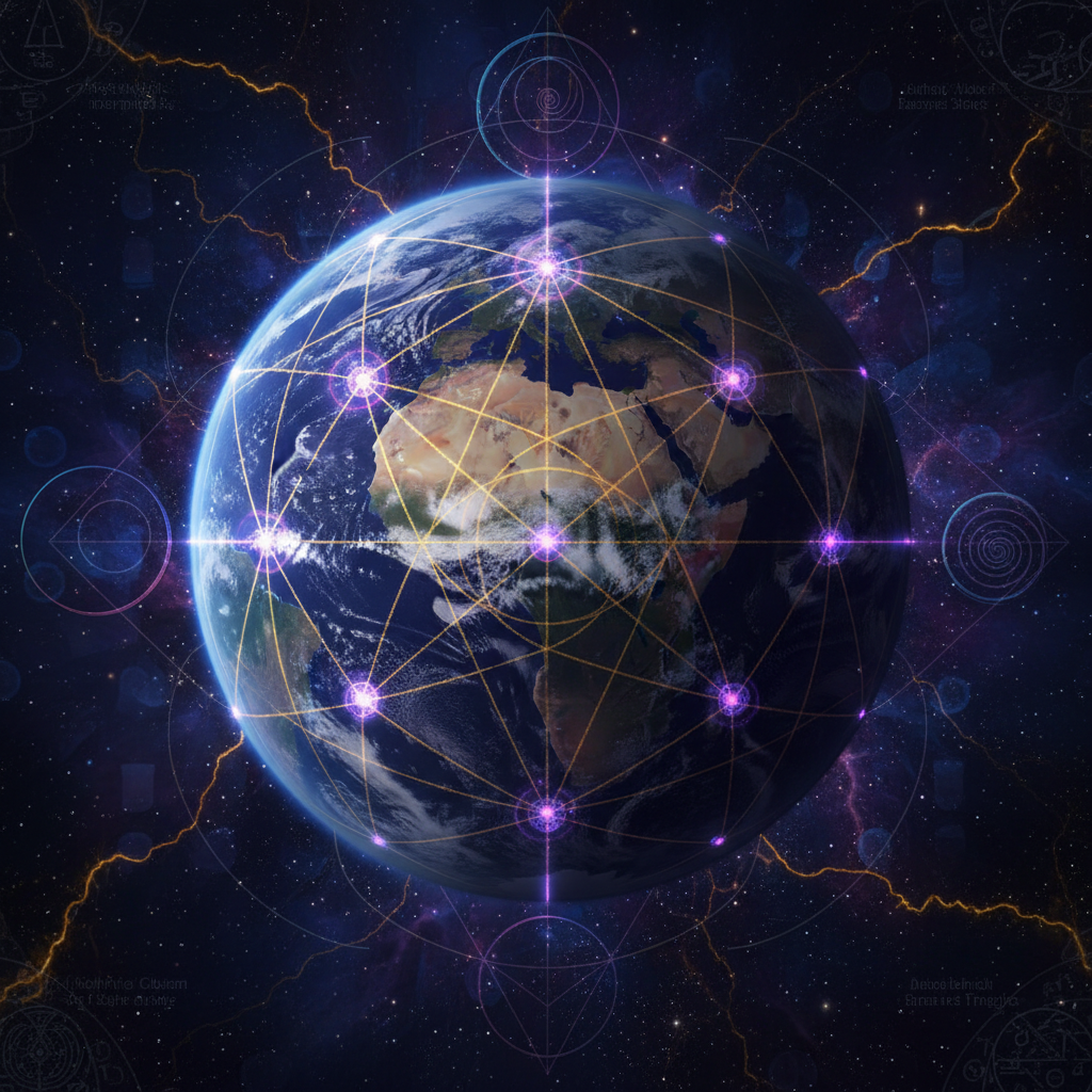
In 1968, three Russian researchers — Nikolai Goncharov, Vyacheslav Morozov and Valery Makarov — published a paper in the Soviet journal *Khimia i Zhizn* (Chemistry and Life) proposing that Earth's surface is overlaid by a polyhedral lattice of energy lines. They identified twelve pentagonal faces (a dodecahedron) intersected by twenty triangular faces (an icosahedron), producing 62 vertices.
When plotted against world maps, these vertices were observed to coincide with: major tectonic features, geomagnetic anomalies, areas of high biodiversity, and a striking proportion of the world's archaeologically significant sites — Giza, Stonehenge, Easter Island, Mohenjo-Daro, Lake Titicaca, Uluru, the Bermuda Triangle, the Devil's Sea south of Japan.
In the 1980s, American researchers William Becker and Bethe Hagens refined the model by overlaying additional Platonic solids, producing the Becker–Hagens Earth Grid — a system of 62 nodes and 120 lesser intersections covering the planetary surface. Their statistical analysis of 4,000 ancient sites against the grid showed a non-random clustering on the nodes at significance levels well below p = 0.001.
The scientific status of these claims remains contested. Critics correctly point out that with sufficient lines on a globe, *some* coincidence with significant sites is statistically inevitable. Proponents respond that the specificity of the matches — including obscure prehistoric sites unknown to Goncharov in 1968 but later confirmed at predicted nodes — exceeds what coincidence allows. The case is not closed.

Hartmann and Curry Lines — The German Tradition
Independent of the British and American ley-line tradition, German researchers in the mid-20th century approached the same territory through medical geography. Dr. Ernst Hartmann (1915–1992), a respected German physician, spent four decades cataloguing what he called *globaler Gitter* — a global rectangular grid of geomagnetic field lines spaced approximately 2 m × 2.5 m, oriented north-south and east-west.
Hartmann's clinical research, published as *Krankheit als Standortproblem* (Disease as a Location Problem, 1964), correlated the long-term occupation of beds positioned over Hartmann grid intersections with statistically elevated incidences of cancer, insomnia, chronic inflammation and cardiovascular disorder. His dataset, gathered over 30 years of clinical practice, ran into the thousands of cases.
A second German researcher, Dr. Manfred Curry, identified an additional diagonal grid (the Curry net) at roughly 3 m × 3 m oriented at 45° to magnetic north, with similar but milder biological correlations. Curry was a respected medical doctor who had also published on biometeorology with Albert Einstein's nephew Hans Einstein.
In modern Germany, Austria and Switzerland, Baubiologie (building biology) — informed by Hartmann's and Curry's research — is a recognised field within architectural medicine. Bed and crib relocation away from grid intersections is a standard low-cost intervention. The empirical literature is patchy but persistent, and dismissed in the English-speaking world more from cultural inertia than from any rigorous refutation.
What a Careful Modern Person Should Conclude
Three honest conclusions, each compatible with the others:
1. Some of the data is solid. Tectonic plate boundaries follow systematic patterns. Geomagnetic anomalies are real and measurable. Certain ancient cultures clearly did align sacred sites along long straight tracks (the Nazca lines, the Inca *ceque* system, the British leys all show this beyond serious doubt). Schumann resonances and telluric currents are documented physical phenomena.
2. Some of the interpretation is overreach. Claims that every grid intersection is a portal, that all ancient sites are deliberately placed on the global lattice, or that the entire archaeological record reflects a single forgotten geomantic civilisation, run far beyond what the evidence supports.
3. The middle territory is genuinely interesting. That the Earth is a complex electromagnetic and gravitational system; that ancient cultures were probably better at sensing this than modern industrial people; that prolonged time in certain landscapes (Glastonbury Tor, Sedona, the Western Highlands of Scotland, the temples of Bali) produces consistently reported subjective effects across very different populations — all of this is worth taking seriously without committing to any particular grand theory.
The practical recommendation from anyone who has worked seriously in this field is simply: walk the land carefully, especially old and high places, with the gadgets put away. Note what you actually feel. The ancients were doing exactly this for thousands of years, and they built temples on the points where the most people felt the most.